mySociety

mySociety: Technical Tales

Matthew Somerville
Birmingham Linux User Group
21st May 2009

mySociety

Projects

TheyWorkForYou

Projects

PledgeBank

Projects

FixMyStreet

Maps – very un-OS

Map of the UK, showing difference in journey times by car or train from Edinburgh

Maps – Helmert Transform

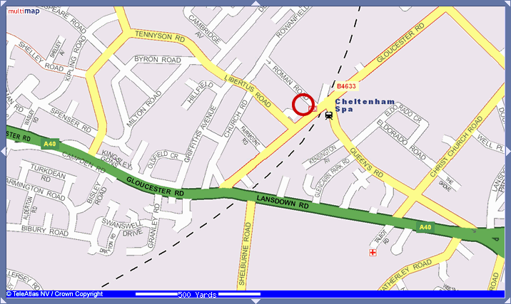
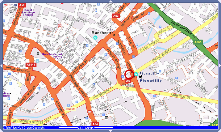
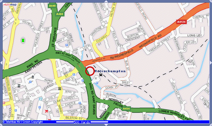
Maps are complicated things. Take railway station locations, for example.

Cheltenham

Map of Cheltenham, with an area to the left and up a bit from the station marked with a red circle

Maps – Helmert Transform

Manchester

Map of Manchester, with an area to the left and up a bit from the station marked with a red circle

Maps – Helmert Transform

Or Wolverhampton…

Map of Wolverhampton, with an area to the left and up a bit from the station marked with a red circle

Maps – Helmert Transform

The End

It’s all open source, so help, bug reports and patches are very welcome. :-)